File:Ligne Azincourt - Denain.png
Jump to navigation
Jump to search

Size of this preview: 800 × 556 pixels. Other resolutions: 320 × 222 pixels | 640 × 445 pixels | 1,024 × 712 pixels | 1,446 × 1,005 pixels.
Original file (1,446 × 1,005 pixels, file size: 1.12 MB, MIME type: image/png)
Captions
Captions
Add a one-line explanation of what this file represents
Summary[edit]
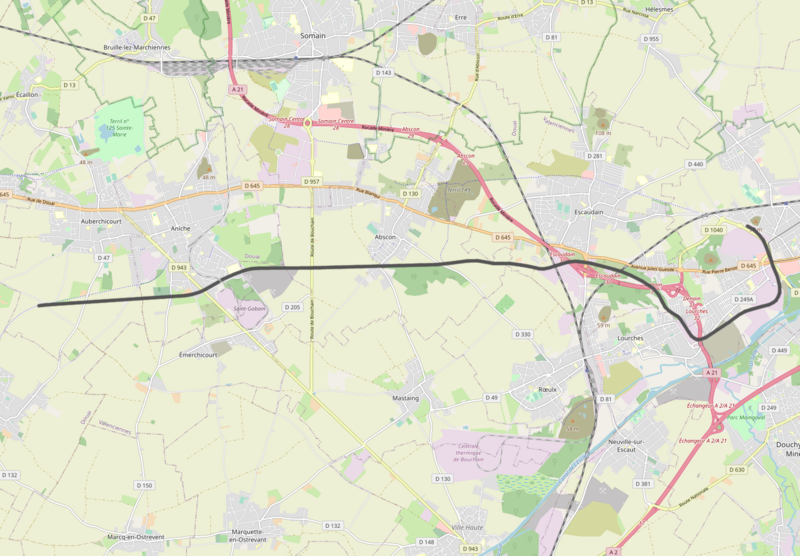
| Description | Ligne Auberchicourt - Denain |
| Date | |
| Source | openstreetmap.org. |
| Author | OpenStreetMap contributors |
| Permission (Reusing this file) |
All OpenStreetMap data and maps are Creative Commons "CC-BY-SA 2.0" licensed |
Licensing[edit]
This file is licensed under the Creative Commons Attribution-Share Alike 2.0 Generic license.
- You are free:
- to share – to copy, distribute and transmit the work
- to remix – to adapt the work
- Under the following conditions:
- attribution – You must give appropriate credit, provide a link to the license, and indicate if changes were made. You may do so in any reasonable manner, but not in any way that suggests the licensor endorses you or your use.
- share alike – If you remix, transform, or build upon the material, you must distribute your contributions under the same or compatible license as the original.
File history
Click on a date/time to view the file as it appeared at that time.
| Date/Time | Thumbnail | Dimensions | User | Comment | |
|---|---|---|---|---|---|
| current | 13:01, 8 November 2021 | | 1,446 × 1,005 (1.12 MB) | Vunz (talk | contribs) | fix |
| 15:50, 15 January 2018 |  | 1,603 × 1,136 (1.11 MB) | Vunz (talk | contribs) | fix | |
| 17:10, 17 March 2011 |  | 1,280 × 870 (822 KB) | Vunz (talk | contribs) | {{Information |Description ={{en|1=map}} |Source ={{own}} |Author =Wiebevl |Date = |Permission = |other_versions = }} |
You cannot overwrite this file.
File usage on Commons
The following 8 pages use this file:
- User:Chumwa/OgreBot/Potential transport maps/2018 January 11-20
- User:Chumwa/OgreBot/Public transport information/2018 January 11-20
- User:Chumwa/OgreBot/Public transport information/2021 November 1-10
- User:Chumwa/OgreBot/Transport Maps/2018 January 11-20
- User:Chumwa/OgreBot/Transport Maps/2021 November 1-10
- User:Chumwa/OgreBot/Travel and communication maps/2018 January 11-20
- File:Ligne Auberchicourt - Denain.png (file redirect)
- File:Ligne Lourches - Auberchicourt.png (file redirect)
File usage on other wikis
The following other wikis use this file:
- Usage on nl.wikipedia.org
- Usage on www.wikidata.org